Great Smoky Mountains National Park | October 2011

I posted a full album from this trip on my Facebook Page! Like us on Facebook!
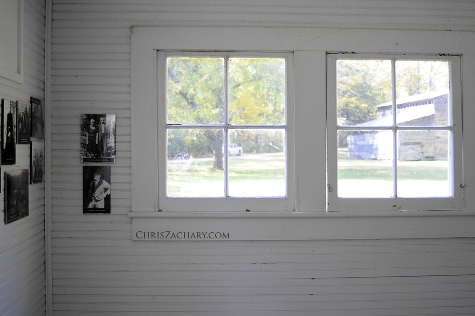
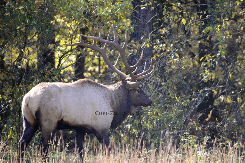
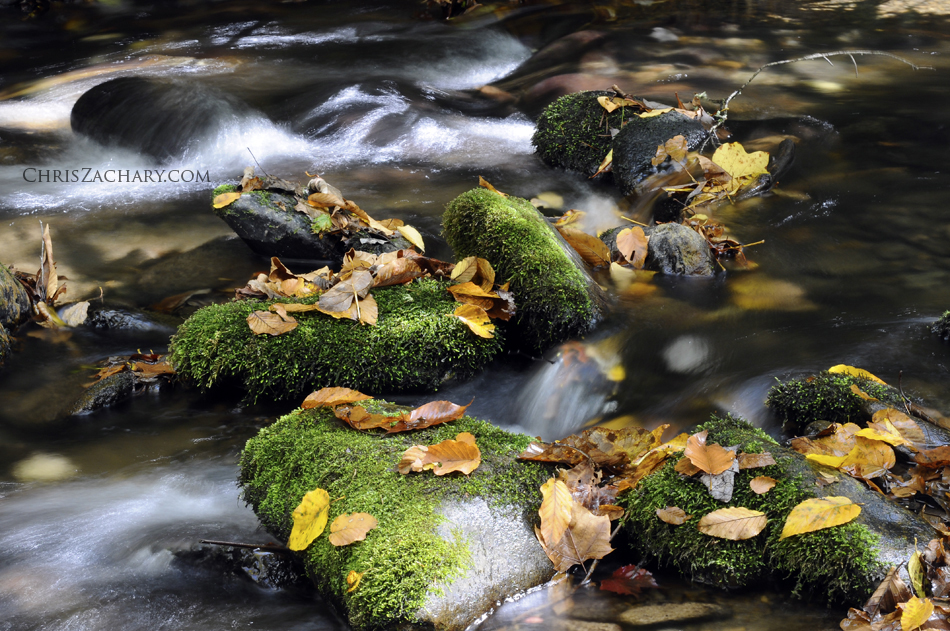
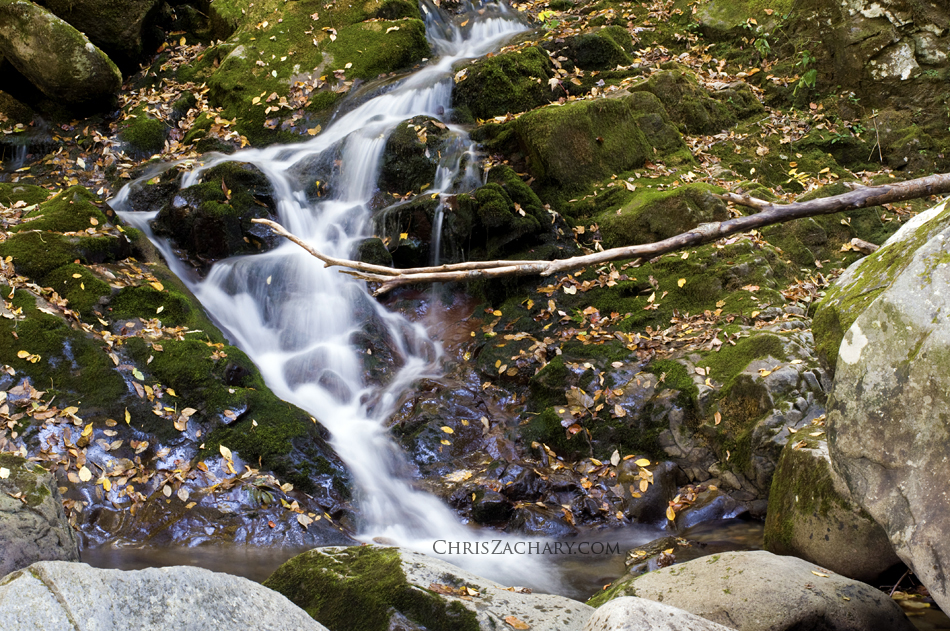
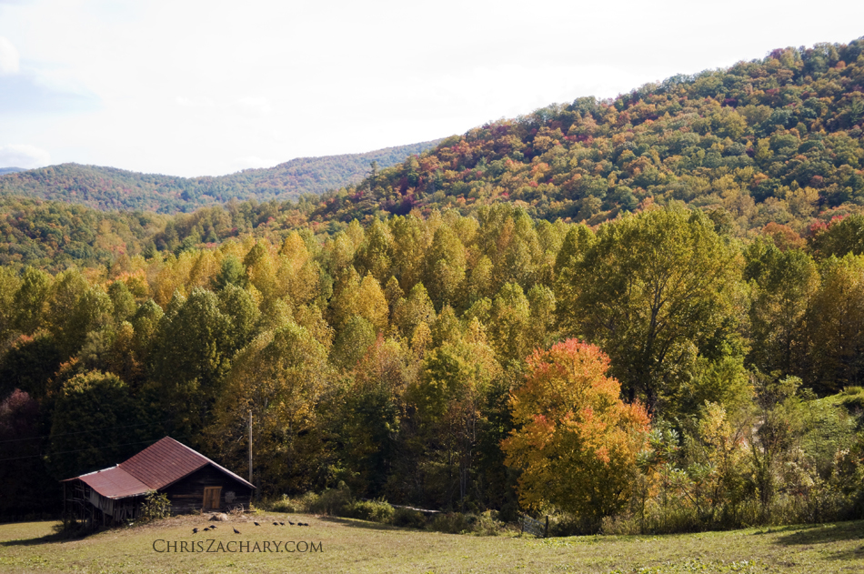
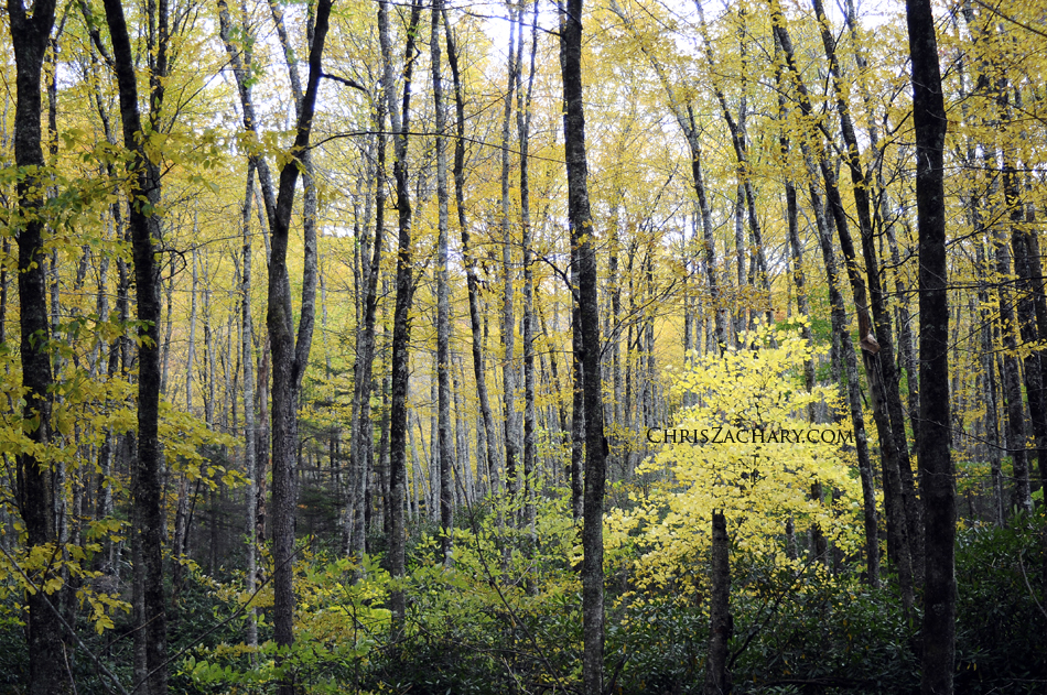
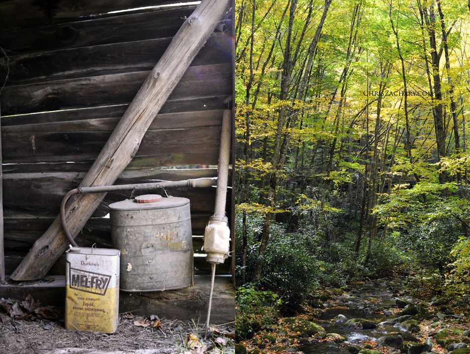
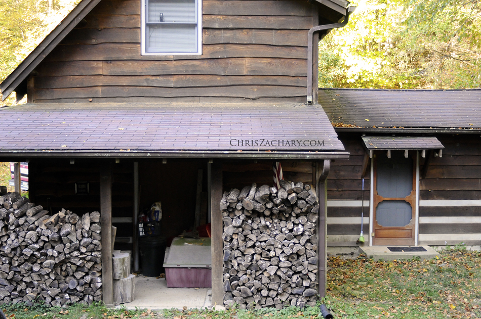
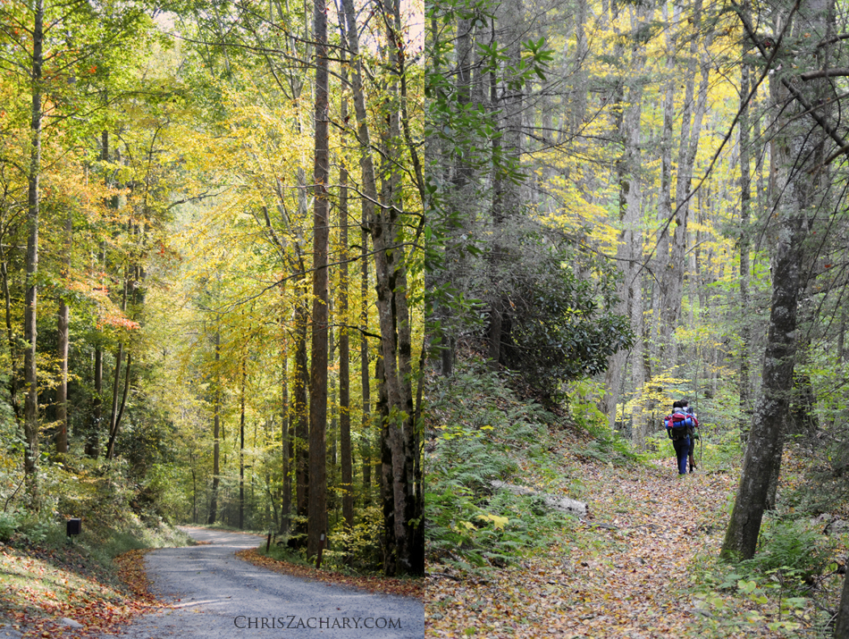
October 8-11 2011, my brother, his girlfriend, her parents and I took a trip to the Great Smoky Mountains National Park. They rented a secluded little cabin right outside the eastern boundary of the park. We got there just as the fall colors were starting to peak around 4000 ft. We explored as much as we could in the short time we were there. First thing saturday morning we drove to the Cataloochie area where we explored some historic cabins, saw some Elk herds and did a little 6 mile hike. Next, we hiked 4 miles along Baxter Creek in search of the best waterfall on the eastern side of the Smokies, Mouse Creek falls, while stopping at some of the popular swimming holes, like midnight hole. We arrived back at the cabin, ate chili and cornbread and had a little bonfire.
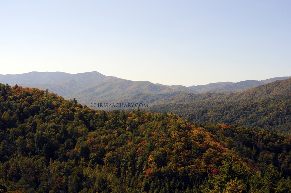
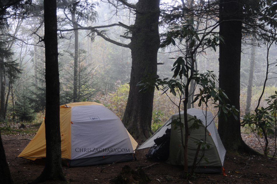
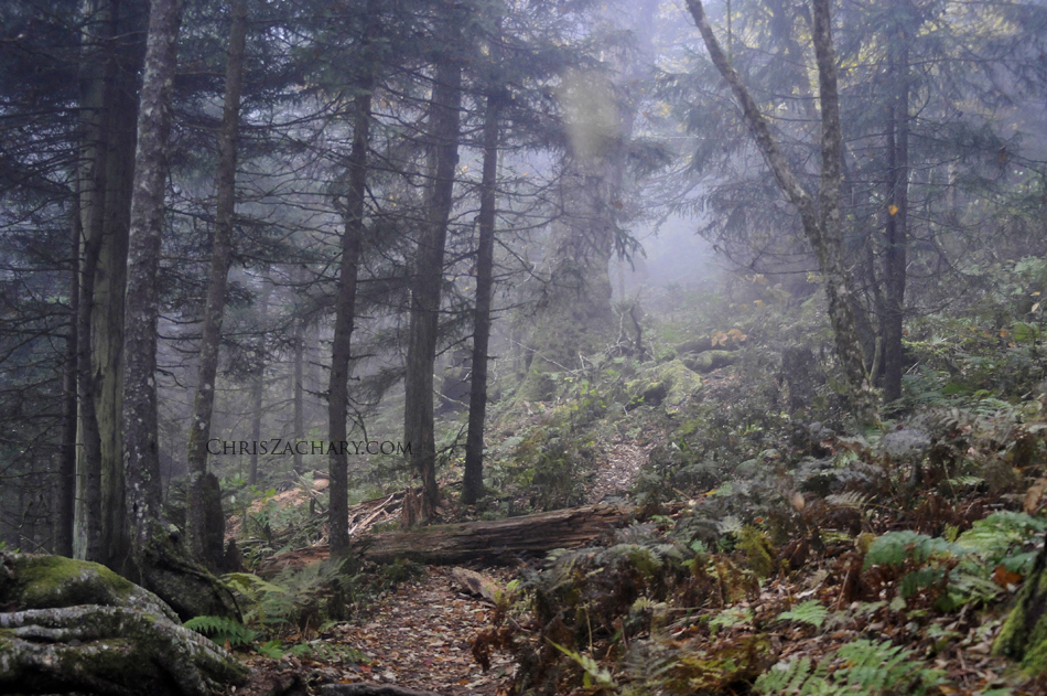
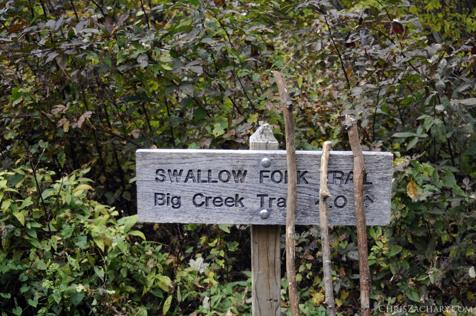
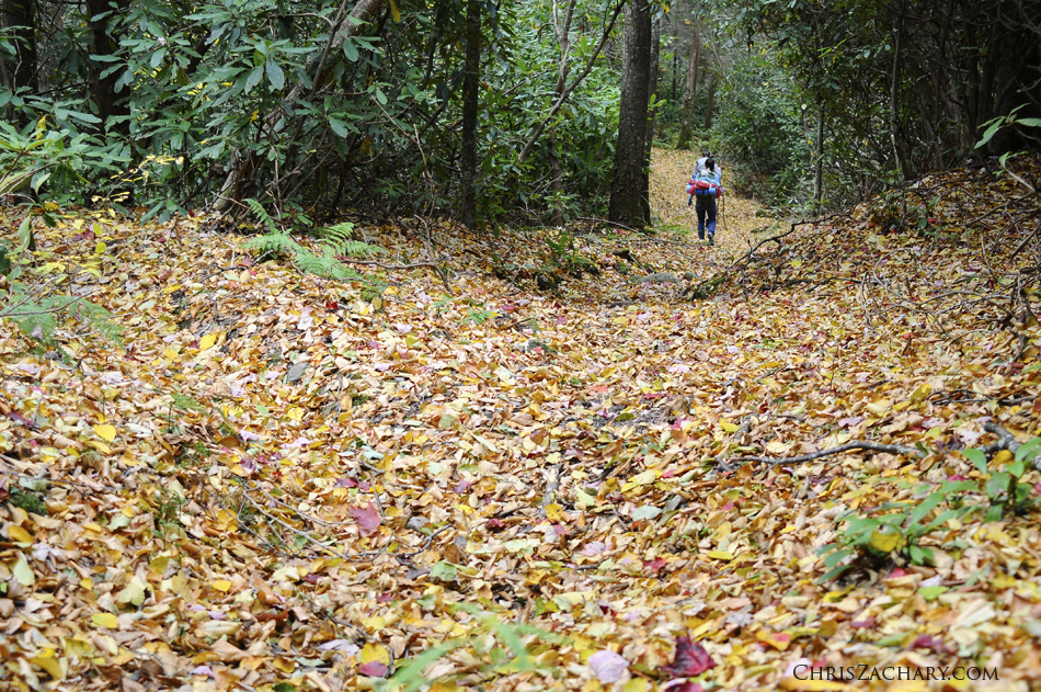
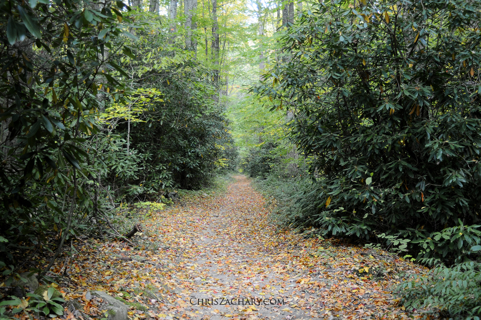
The next day, we packed up our gear and headed out to a 2-day 16.34 mile loop up and over Mt. Sterling. Here’s a link to the itinerary of the loop,Big Creek Loop. We opted to go the opposite route suggested on the itinerary, hoping to get the 6 mile 4000 ft climb out of the way. It was a pretty challenging climb, but we were glad to get it over with, leaving only downhill hikes for the 10 miles back the next day. Upon arriving at our camping area for the night, Campsite 38, atop Mt. Sterling, we ran across a ranger with a rifle asking us if we had seen any bears. The smokies are known for their abundance of black bears, approx. 1,500 within park boundaries, and while they are normally weary of humans, the ranger informed us one had been stalking hikers and rummaging through the campsite at night searching for food. Not the best thing to hear when you’re about to set up camp, but we tried not to let it bother us. One of the attractions of Mt Sterling is the 350ft fire tower at the top, providing panoramic views of the surrounding mountains. We set up camp, cooked dinner, drank hot chocolate, then went to bed, hoping to not be awaken by a hungry bear. The next day we continued along Mt Sterling Ridge trail and begun our descent down the mountain. As expected, this stretch was much less strenuous than the previous hike up, which made the hike down a breeze. We stopped at a few places around baxter creek trail to explore some fallen rocks, waterfalls and caves along the creek. We got back to the cabin around 5, just in time for a delicious meal and some more bonfire relaxing.
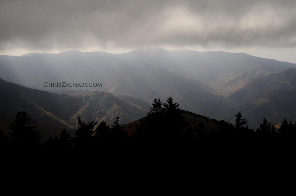
The final day was kind of hectic, there were two areas where we really wanted to go, but they were on the opposite side of the park, Clingmans Dome and Cades Cove. So after checking out at the cabin we started the trek. There aren’t many roads that transverse the Smokies and the ones that do, while scenic, and very slow moving. It took us a couple hours to get up to Clingmans Dome, after a little detour cruise on the Blue Ridge Parkway. Clingmans Dome is a 6,643 foot observation tower, the highest point in the Smokies. Unfortunately after the mile hike to the top, we found it covered in a cloud. So after that was a bust, we continued on the Cades Cove. Cades Cove is an 11 mile loop circling a 6800 acre valley and a very common spot for wildlife viewing. We ended up seeing a couple bears, deer and turkeys. It’s pretty obvious when any wildlife is spotted because every tourist in a 100 mile radius flocks to it with their point and shoots. Thankfully they have rangers present to protect the animals and keep the tourists at a distance. Next time I’ll definitely have to go much earlier to beat the crowds. All in all is was a great trip. The Smokies are one of my favorite areas of the NC mountains and I’m sure it won’t be long before my next visit.
California 2011 | Part Three | Travel Photographer

This is the third, and last, part of my California trip. I had so many photos from the trip, I decided to break the post up into three sections. Part one consists of our arrival to San Diego March 14, 2011 and our travels throughout Southern California. You can view that post here. Part Two covers our trip from San Diego to San Francisco via the Pacific Coast Highway. That post can be viewed here. This last post will be the stories and photos from our time in San Francisco.

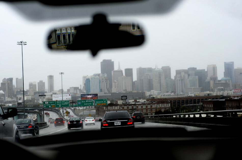
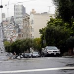
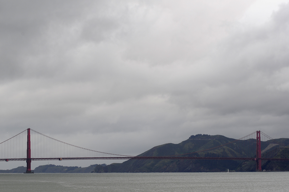
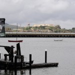
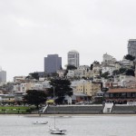
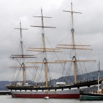
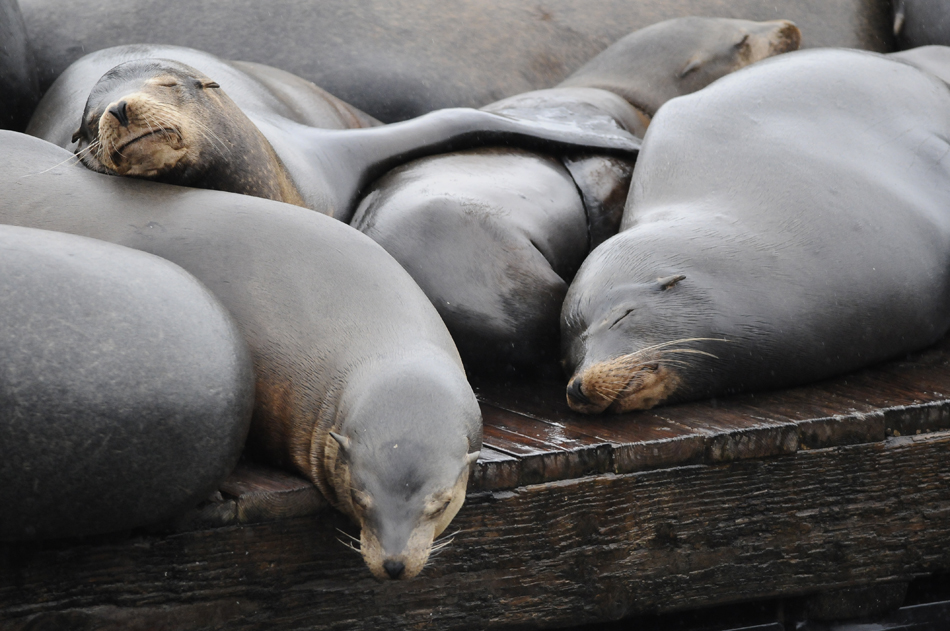
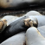
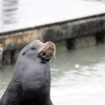
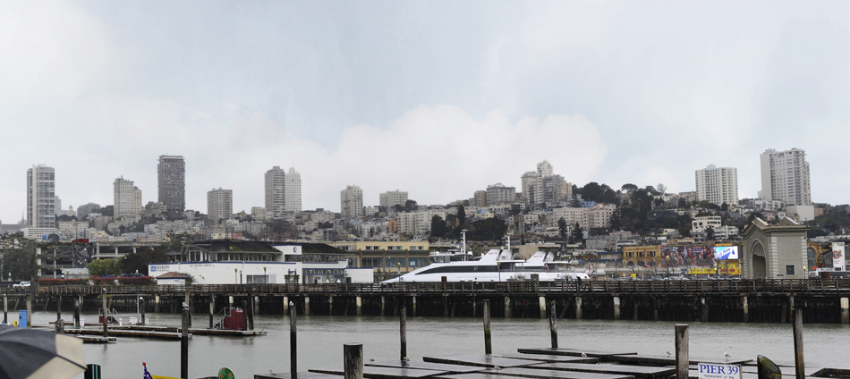
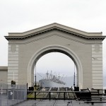
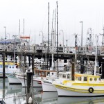
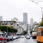
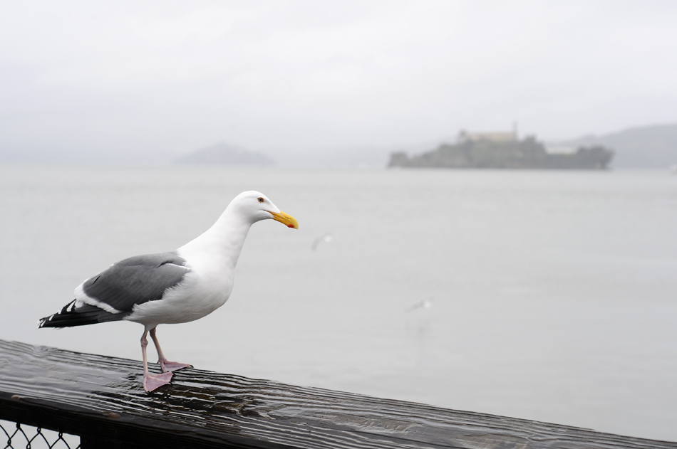
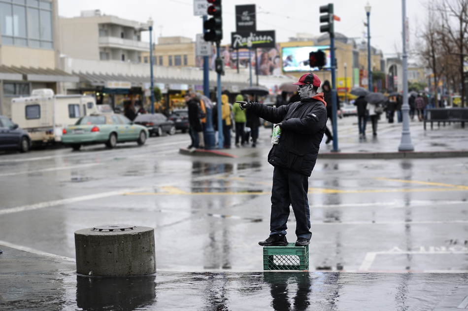
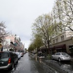
We arrived in San Francisco Friday afternoon, March 18th. We went straight to our hotel, The San Francisco Inn on Lombard Street. After unloading our luggage, we hit the streets headed out for some urban adventuring. Our friends Brett and Ashley got there the day before and were out doing some exploring of their own. Our first stop was to the Pier at the end of Van Ness Ave for some great views of the Golden Gate Bridge, Alcatraz, and the city of San Fran. Next we headed to the first shop we could find to pick up some umbrellas, as it had been raining off and on all day. One of my main goals was to go to Pier 39 where the Sea Lions have taken over the docks. So we headed down Jefferson St towards the Sea Lions, passing through fishermans wharf and a few shops on the way. We finally made it to Pier 39, it was pretty crazy how hundreds of these Sea Lions were fat and happy just laying on these docks all day. The extreme weight of all the Sea Lions, which weigh about 800 lbs each, were causing some of the docks to be partially submerged. They were mostly just sleeping but every once one would belch out their trademark “AARRFFF” sound and try to bite their friends. I think I only saw one with its eyes open and that was when he was biting his neighbor.

After we visited the Sea Lions, we made the walk back to the hotel to meet up with Brett and Ashley. We decided it would be a good idea to walk 20 or so blocks to a mall in San Fran. So we loaded up on Starbucks and hit the sidewalk. Not only did it end up being a longer walk than we had thought but it was starting to get dark before we got there. I’ve never seen so many homeless people, asians and drug dealers in my life. It was definitely one of the sketchier situations of the trip. I didn’t bring my camera with me on this excursion, which was probably for the best because we probably most certainly would of gotten mugged. We literally saw some drug deals take place right in front of us. But we eventually made it to the mall in one piece, and besides having to pay to use the restroom, we went to some really cool stores. And we made sure to take a taxi back. We topped off the evening by having a great dinner at a Italian restaurant down the street.

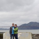
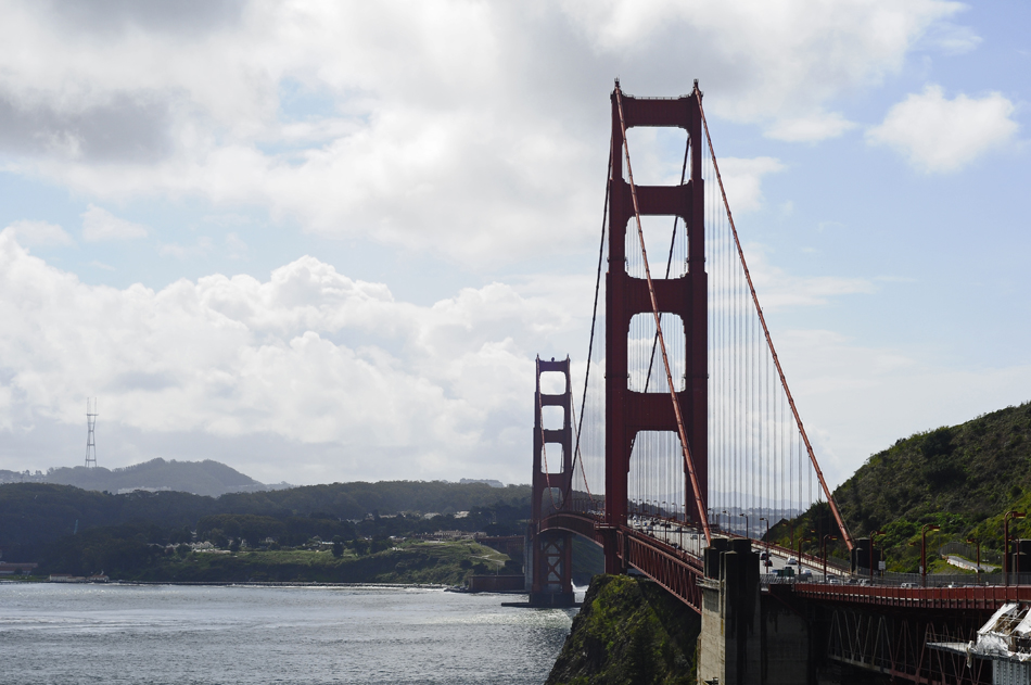
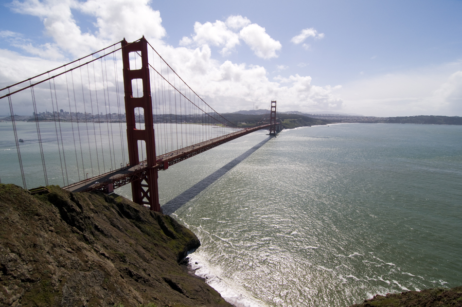
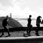
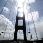
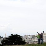
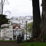
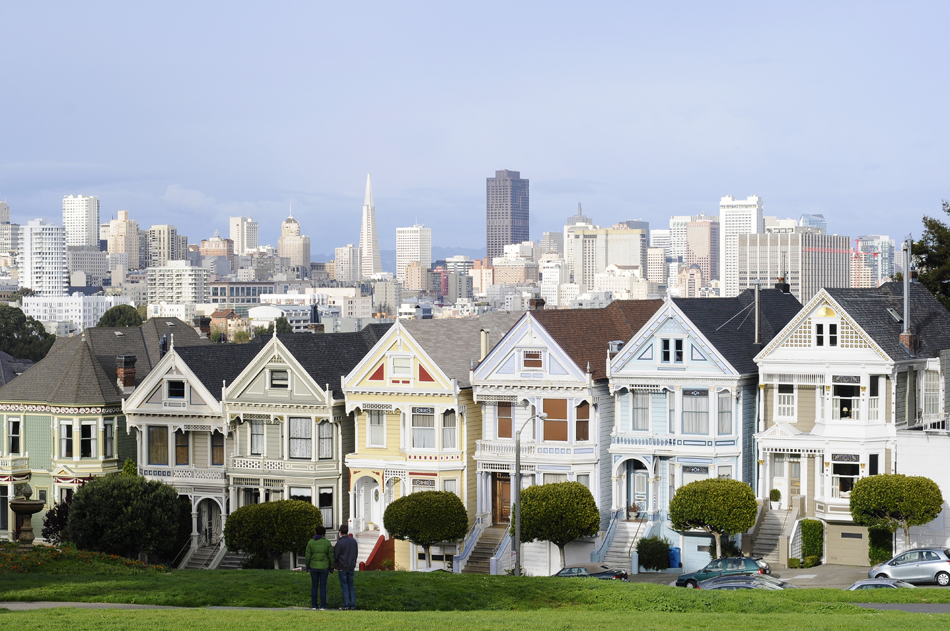
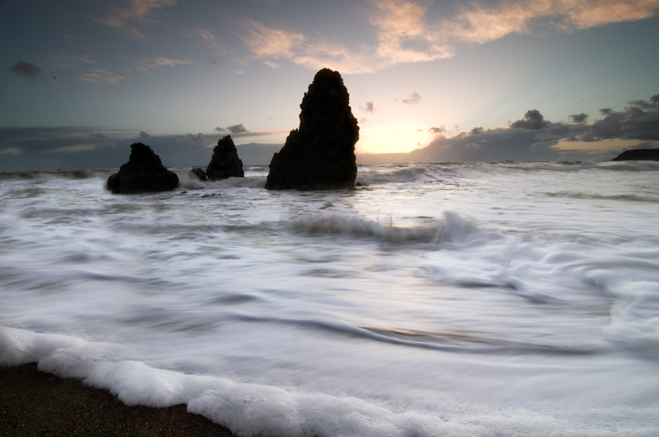
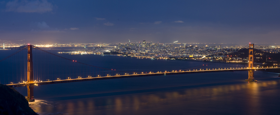
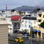
The next day we started off by grabbing some breakfast burritos and coffee at a little cafe across the street from our hotel. We then split up, Brett, Ashley and I made the drive to Oakland to meet up with the famous pro rollerblader Brian Shima at a little restaurant owned by the drummer for Green Day. John and Allie stayed around the hotel because John was selling the surfboard he bought in San Clemente. We had this meeting with Shima because Brett is in the process of designing a skate for Shima’s new skate brand; Shima Manufacturing. After returning from Oakland and driving down the imfamous “Zig-Zag” road on Lombard st, we met back with John and Allie, and headed to a couple locations for viewing the Golden Gate Bridge. First we went to a little touristy spot before heading up to the Marin Headlands. This was a spot I had mapped out beforehand that I really wanted to go to, so I was psyched to get to it. After that we went a checked out Ashbury/Haight streets (where the hippies hangout), Alamo Square (famous from the TV show Full House and the movie Mrs. Doubtfire) among other little parks and whatnot. Another thing I mapped out to do was shoot the sunset at Rodeo Beach. Rodeo Beach is located in Marin County just over the Golden Gate bridge and features some really cool rock formations. We also came across some epic views of the Golden Gate Bridge at night.
Well that wraps up the trip. The next morning we started our voyage back to good old North Carolina. Had an incredible time, just wish we had more time to do more stuff. Can’t wait till the next trip to the westcoast!
California 2011 | Part Two | Travel Photographer

Finally got around to putting together Part Two of my California trip. I’ve decided to split this one up into 2 posts as well, so stay tuned for Part Three. Incase you missed Part One, here’s the link, https://chriszachary.com/blog/2011/04/16/california-2011-part-one/. The last post ended on Day 4, the night before we made the trek up to San Francisco. This last leg of the trip had a few mishaps, but still turned out to be pretty fun. Read on to get the scoop and view the photos.

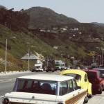
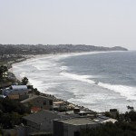
Day Five – March 18, 2011 – We woke up early Friday morning and began our drive North to San Francisco. I rode up with Brett and Ashley in the convertible. We passed through L.A. and stopped in Ventura for a great little breakfast. After breakfast, Brett and Ashley took the main highway up to San Fran for the quickest route, while we opted to take the the Pacific Coast Highway for the scenics. After driving through the coastal mountains we made our first stop in Malibu.

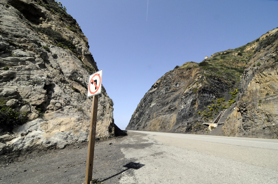
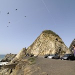
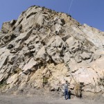
After scoping out the break and exploring a little we hopped back into the car and continued our journey north, making countless stops along the way. One stop that was noteworthy was at this point (where apparently a pretty decent little point break wave shows its face from time to time) the road took a sharp right around this rock formation, it looked the the mountain was broken off in order to pave the road through, leaving this huge rock sticking straight out of the ground. Looked really cool. We tooled around there for a bit, took a pee break and started back on the road.

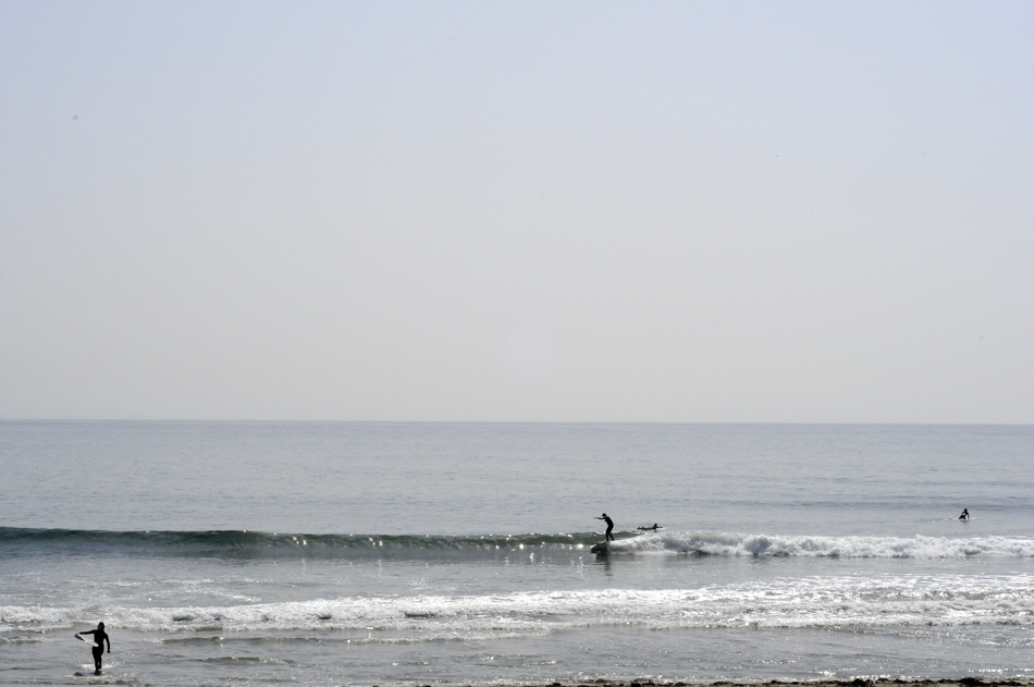
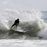
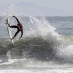
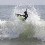
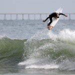
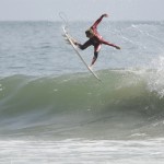
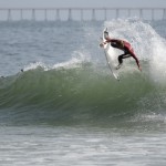
Starting back on the road, we stopped by a little break, not sure of the name if this one. Might be Zuma, not 100% on that, but we thought we’d stop and check it out. It was a little blown out, but we saw a couple guys paddling out. Hung out and watched them for a bit before heading up the road to Rincon.

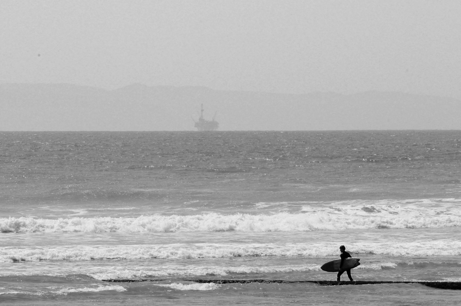
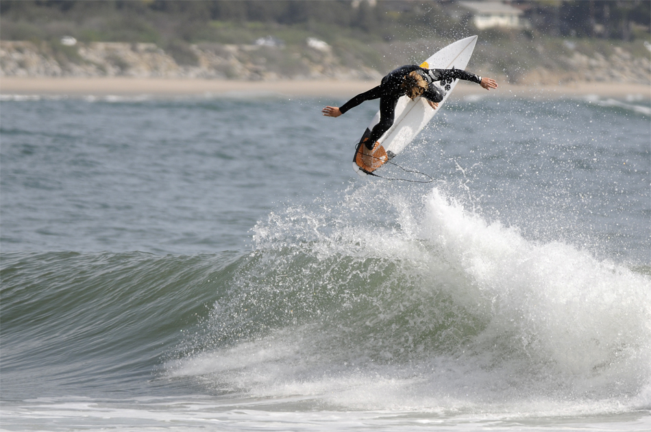
Rincon is one of the most famous surf spots on the California coast. So we weren’t surprised when we pulled up to a full lineup. This spot is frequented by the likes of Kelly Slater, Bobby Martinez, Connor Coffin, Josh Kerr and many more big names. The only one I recognized out there was Connor Coffin. There were some pretty decent sets reeling off the point, and dudes were ripping. I sat out on the point and shot some photos, while John went for a little surf.

When we left Rincon we continued up the Pacific Coast Highway, heading towards San Fran. Made a quick little stop at a mexican deli for some jalepeno croissants and popped in a Walmart for a AUX cable for some fresh jams. Now here’s where it starts getting a little hairy. We were really stoked on this section on the PCH. The section between Santa Barbara and Santa Cruz, this is where it passes through the Big Sur, there are redwood forests, waterfalls, and sea lion colonies that we really wanted to see. We knew we were running a little behind on time, so we started scoping out cabin locations in the Big Sur to stay for the night. After finding one, we called to make a reservation. When talking to the folks at the camp ground they informed us, just two days earlier, a landslide had washed out a 15 ft section of the PCE, forcing them to close a 40 mile section. Meaning we had to back track and take another highway up to Santa Cruz. As a result, we missed all the cool scenic stuff we were so excited about seeing. Needless to say, we were a little bummed. And on top of that some storms were moving in. So we made to Santa Cruz as fast as we could and decided to stay there for the night.

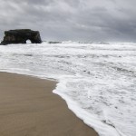
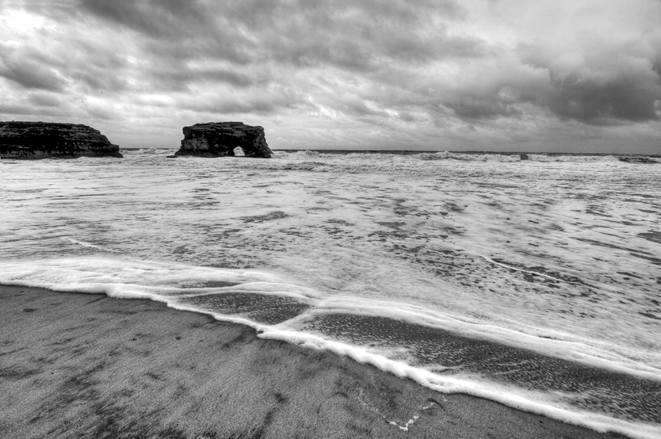
Day 6 – March 19, 2011 – After a good nights rest in a sketchy little bed & breakfast in Santa Cruz, we explored the downtown area in search of a Starbucks. We awoke to more storms including some pretty good size hail. We came to the conclusion that Santa Cruz is a pretty sketchy place, especially at night. We came across some pretty interesting characters. Our hotel was located right in front of the popular Santa Cruz surf break called Steamer Lane. There wasn’t much going on as far as waves, pretty much victory at sea, big, choppy and stormy. There appeared to be a surf-kayak competition going on. We scored some Starbucks and reunited with the PCH. There was one spot I had mapped out before hand that I wanted to shoot some landscapes at. Natural Bridges State Park. I didn’t get to set up a good shot like I wanted to, due to the rain but I put together a couple HDRs. I think you’ll see why they call it Natural Bridges. After that we headed on up to Half Moon Bay, to scope out the big-wave spot, Mavericks.

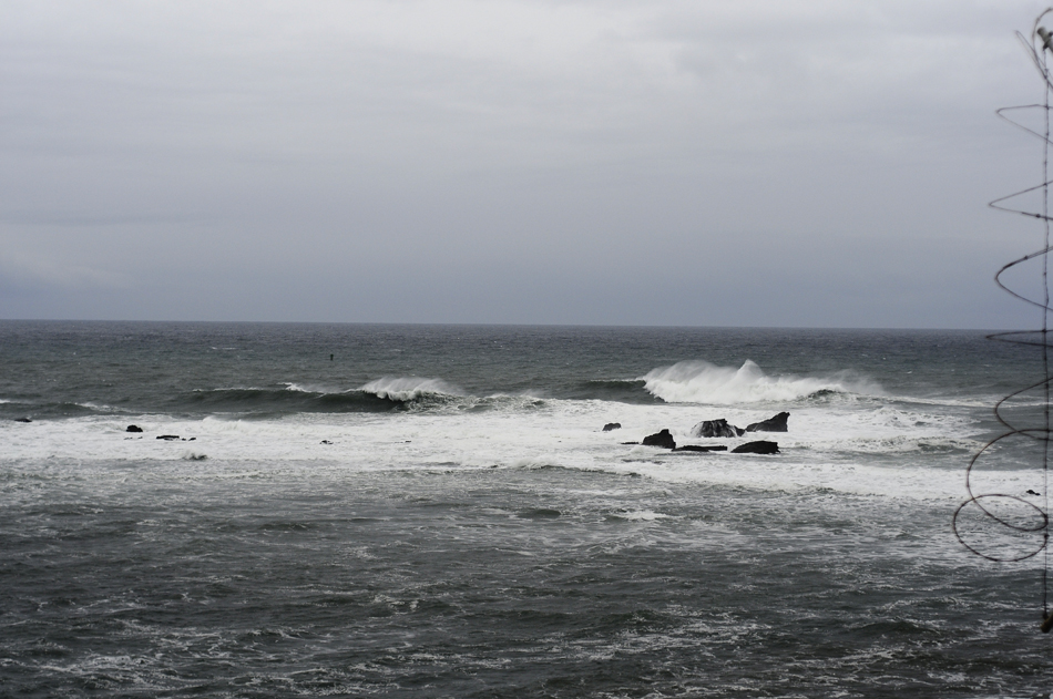
We eventually made it to the big wave spot; Mavericks. A well-known hawaiian surfed drowned here just a week or so earlier and there were memorials in honor of his passing. The ground was wet and muddy, but me and John still hiked up to the cliff to get a over-view of the wave. We hung around here for a bit checking out the scenics. After stopping for some fine italian cusine for lunch, we jumped back on the PCH.

We finally made it to San Francisco! We stopped by a little wave called Pacifica on the way in. I think this is where the Ripcurl Pro Search is going to be this year. Thats it for this post. I will have Part Three up in a day or so, keep a look out!

To be continued….
Up Next: Our visit in San Francisco, stay tuned…